Third Pole GeoLab
WWF developed and launched Third Pole GeoLab, an interactive web-based tool and database for snow leopard conservation, climate change, and water security issues in Asia’s high mountains, as part of our USAID-funded project, Conservation and Adaptation in Asia’s High Mountain Communities and Landscapes.
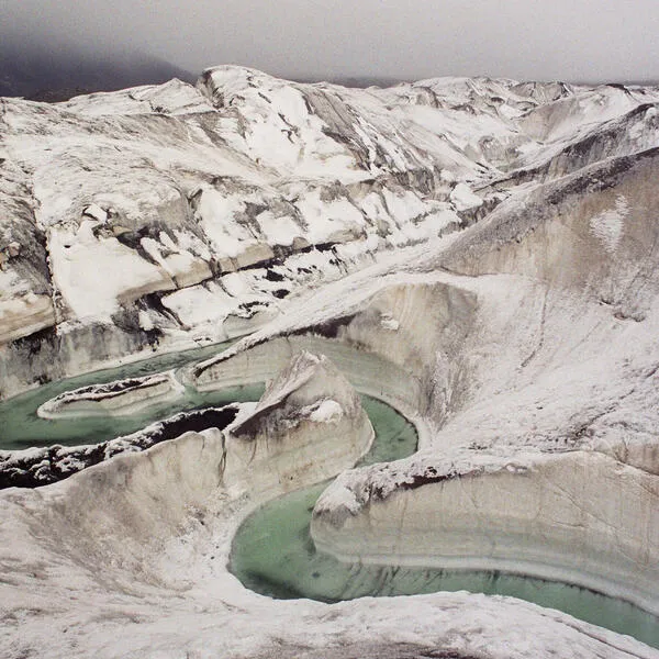
© Nikolay Kuznetsov / WWF-Russia
The aspiration is the GeoLab becomes the destination for practitioners and scientists in the region to share information that will help restore, protect and build the resiliency of the snow leopard’s range, which overlaps with the headwaters for some of Asia’s greatest rivers. It is designed to foster collaboration and underscore the connection between water security, climate change, and snow leopard conservation.
Key features include:
- Innovative, interactive maps that allow users to explore climate features, water availability, and snow leopard data and habitat across the snow leopard range and within each of the major mountain ranges
- High resolution downloads of these maps, from the map book, Guardians of the Headwaters: Snow leopards, Water Provision, and Climate Vulnerability, used to produce the interactive maps on the site.
- A database of the same GIS layers used to produce the above maps, including land cover/land use, net primary productivity, watersheds, and others across the entire snow leopard range. This database will continue to grow as experts share files and information.
- An interactive map following WWF’s radio-collared snow leopard, Ghanjenzunga, as he moves through the snow leopard range, highlighting important conservation issues along the way.