Publications
-
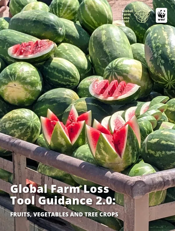
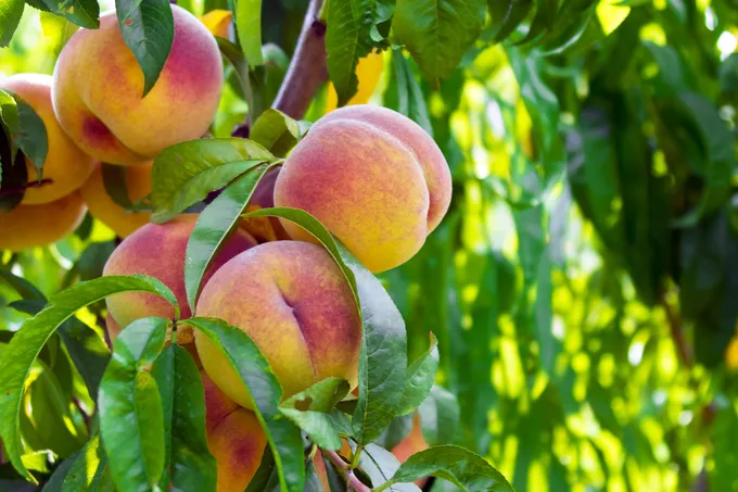
This guide is for farm businesses to help them assess the amount of crop that becomes surplus or waste instead of reaching its intended market. It covers the in-field stage of a grower‚'s operation as well as other on-farm stages such as grading, storage, and processing. This document will help you to plan and undertake measurements, as well as assist you in entering your data into the WWF Farm Loss Tool so you can identify opportunities to reduce food loss and improve the volume of saleable produce and profitability.
-
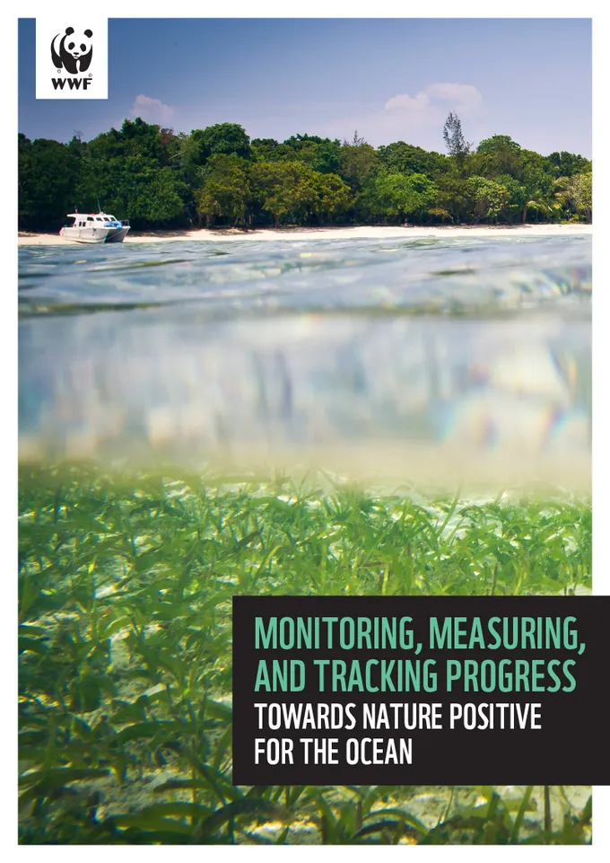
In June 2025, WWF published Towards nature positive for the ocean: pathways for corporate contributions to provide guidance for blue economy sectors, including offshore wind (OSW), coastal and marine tourism, shipping, and seafood (wild-capture fisheries and aquaculture) on actions they can take to credibly contribute to nature positive—the global goal to halt and reverse biodiversity loss. This follow-on report, Monitoring, measuring, and tracking progress towards nature positive for the ocean offers guidance for companies on how those recommended nature-positive ocean pathways can be measured, monitored and adapted over time.
Monitoring actions is a critical step to ensuring credible contributions by the private sector to the nature-positive global goal. This report provides practical guidance to companies in different ocean sectors on best practices for monitoring along with a set of recommended ecological indicators, synthesized from scientific literature and practitioner knowledge. Importantly, the report demonstrates the connections and alignment between the recommended indicators and other key initiatives such as the Taskforce on Nature-related Financial Disclosures (TNFD), and the Science Based Targets Network (SBTN), among others (e.g., ESRS, MSC, ASC, GDST).
By applying the recommendations in our reports on Action Pathways and this report on Monitoring & Indicators to nature strategies, companies can begin to make significant progress towards a prosperous and nature-positive future–aligned with the science and increasingly demanded by investors, regulators, communities, and civil society.
-
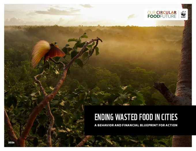
Ending wasted food in cities in Indonesia and elsewhere creates jobs and dramatically reduces future methane emissions. By scaling immediate investments into organic infrastructure and behavior change, Jayapura and Merauke could see a 62% and 52% projected decrease in future methane emissions by 2045.
-
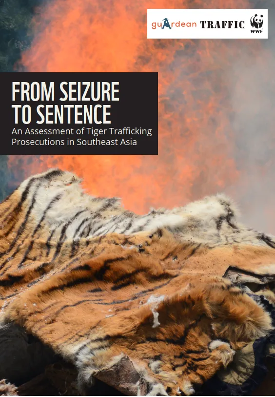
A joint report by WWF, GuArdean, and TRAFFIC, From Seizure to Sentence: An analysis of tiger crime prosecutions in Southeast Asia, finds significant weaknesses in tiger crime prosecutions across Southeast Asia where tiger trafficking remains a persistent threat to the future of wild tigers.
The report examines tiger‑related arrests, prosecutions, and sentencing outcomes across seven tiger range countries (Cambodia, Indonesia, Lao PDR, Malaysia, Myanmar, Thailand, and Viet Nam) between 2019 and 2024, assessing how criminal justice systems respond to tiger trafficking and identifying gaps in prosecution, sentencing, transparency, and accountability.
-
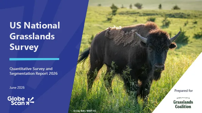
The 2026 US National Grasslands Survey was commissioned by the America’s Grasslands Coalition, which includes WWF, to better understand public awareness, perceptions, and attitudes toward grasslands across the United States. It also aims to assess levels of support for grassland conservation and to inform the design and strategic direction of future outreach and engagement efforts.
This report presents findings from a nationally representative survey of 2,014 US respondents conducted by GlobeScan, an independent research consultancy, between April 16–28, 2026. The sample reflects the US population across age, gender, education level, and state population.
-
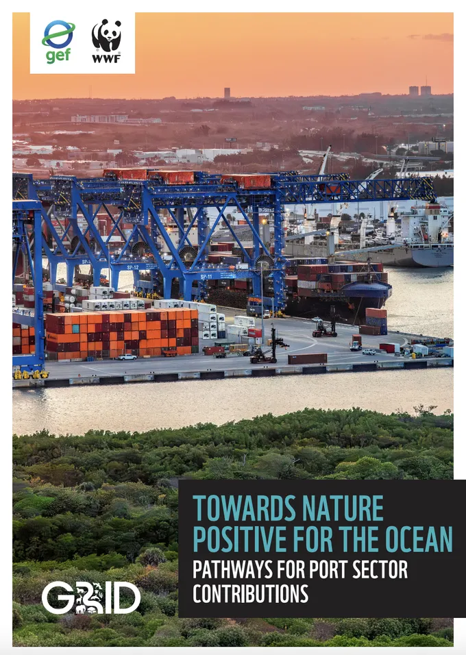
Ports are essential to the global economy, but they sit at the frontline of ocean degradation. With port expansion accelerating globally, a fundamental shift in approach is needed to avoid placing additional pressures on already stressed coastal and marine ecosystems.
The WWF report Towards Nature Positive for the Ocean: Pathways for Port Sector Contributions offers practical, science-based pathways to help port planners, developers, operators, and owners credibly contribute to global nature-positive goals: halting and reversing biodiversity loss by 2030 and achieving full recovery by 2050. Published under the Global Environment Facility-funded Greening Transportation Infrastructure Development (GRID) program, the report’s central message is that infrastructure and nature do not need to be competing priorities.
The report provides practical actions for embedding nature into every stage of the port life cycle. Drawing on the AR3T framework—Avoid, Reduce, Restore & Regenerate, and Transform (aligned with the Science Based Targets Network)—the report outlines pathways for the port industry to avoid and reduce impacts, restore and regenerate ecosystems, and transform broader systems.
-
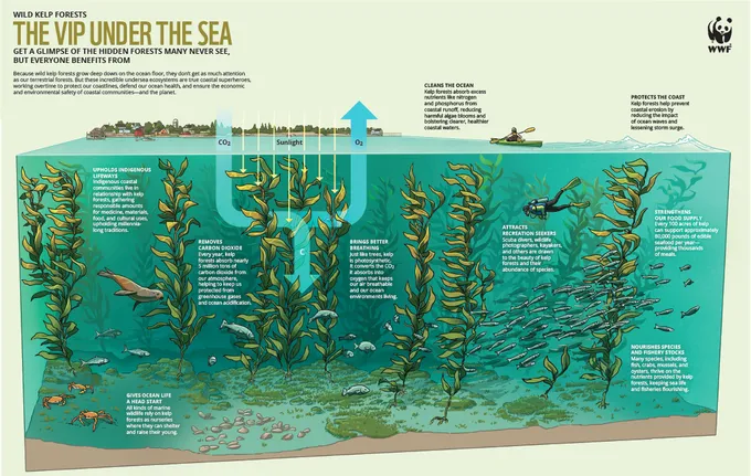
Unlike land forests, kelp forests are hidden deep in the ocean. Therefore, they are often forgotten despite being true coastal superheroes, helping to protect shoreline biodiversity, supporting local ocean health and sustaining coastal fishing communities. These forests are under threat around the world by changing ocean conditions. This infographic explains why protecting kelp forests is critical to protect habitats and support ocean health.
Infographic series
- The VIP Under the Sea
- Boast About Your Coast
- What to Know About the Grow
- Innovation that Helps Conservation
-
Tribal Nations have sustainably managed natural resources since time immemorial, yet they remain one of the most underutilized partners in modern conservation. This toolkit explores how partnerships with Tribal governments can create durable conservation outcomes while supporting Tribal sovereignty and self-determination. Drawing on practical guidance, legal frameworks, and examples from across the United States, it shows how Tribal-led strategies can lead and reshape efforts to protect wildlife, habitats, and culturally significant landscapes for future generations.

-
Una descripción detallada del GFLT, que ayuda a los usuarios a planificar y realizar mediciones de campo.
-
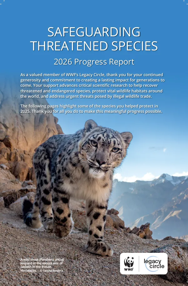
As a valued member of WWF’s Legacy Circle, thank you for your continued generosity and commitment to creating a lasting impact for generations to come. Your support advances critical scientific research to help recover threatened and endangered species, protect vital wildlife habitats around the world, and address urgent threats posed by illegal wildlife trade.
The following pages highlight some of the species you helped protect in 2025. Thank you for all you do to make this meaningful progress possible.