Protecting the Amazon's swimways
A new study helps us better understand migratory routes and how to save them

© Shutterstock / COULANGES / WWF-Sweden
The Amazon River, one of the most iconic rivers in the world, is more than a single river running through the rainforest. It connects hundreds of rivers and streams (known as tributaries), vast floodplains, and wetlands that cover a wide swath of South America.
The vast network of rivers and associated wetlands within the Amazon basin allows for movement: of nutrients, of water, and of thousands of species. Like a central highway through a busy city, the Amazon River creates a migratory pathway for animals to find new sources of food, mating grounds, or safe spaces away from predators.
However, proposed dams on many of the Amazon’s tributaries would fragment this important network. The dams would block the movements of aquatic species, including migratory fish, turtles, and river dolphins. On tributaries where dams already exist, fish species that support local fisheries have declined, impacting livelihoods and food security in the region.

© LUCAS BUSTAMANTE
WWF, along with scientists from several organizations and academia¹, conducted a review of the use of more than 200,000 miles of Amazonian rivers by long-distance migratory fish and turtle species and river dolphins to develop a map of the most important routes or freshwater connectivity corridors, also known as swimways. By understanding which rivers are critical, decision-makers can take action to protect certain river stretches or otherwise plan for siting or designing infrastructure in alternative, more sustainable ways.
This model could be applied in other river basins around the world to better protect migratory freshwater species by mapping their swimways within river systems.
Without protecting their migratory pathways, we could lose some of the charismatic and unique species of the Amazon.
Amazon swimways and migratory species
Swimways identified based on movements of 26 migratory fish, one migratory river turtle, and four river dolphins.
Rivers
1. Napo
2. Marañón
3. Putumayo
4. Japurá
5. Negro
6. Ucayali
7. Juruá
8. Purús
9. Madiera
10. Amazon
11. Tapajós
12. Xingu
13. Araguaia
14. Tocantis
Species
(Species shown are a representative subset)
A. The gilded catfish (B. rousseauxii) migrates up to 3,728 miles between nursery and reproduction sites in the Amazon Basin.
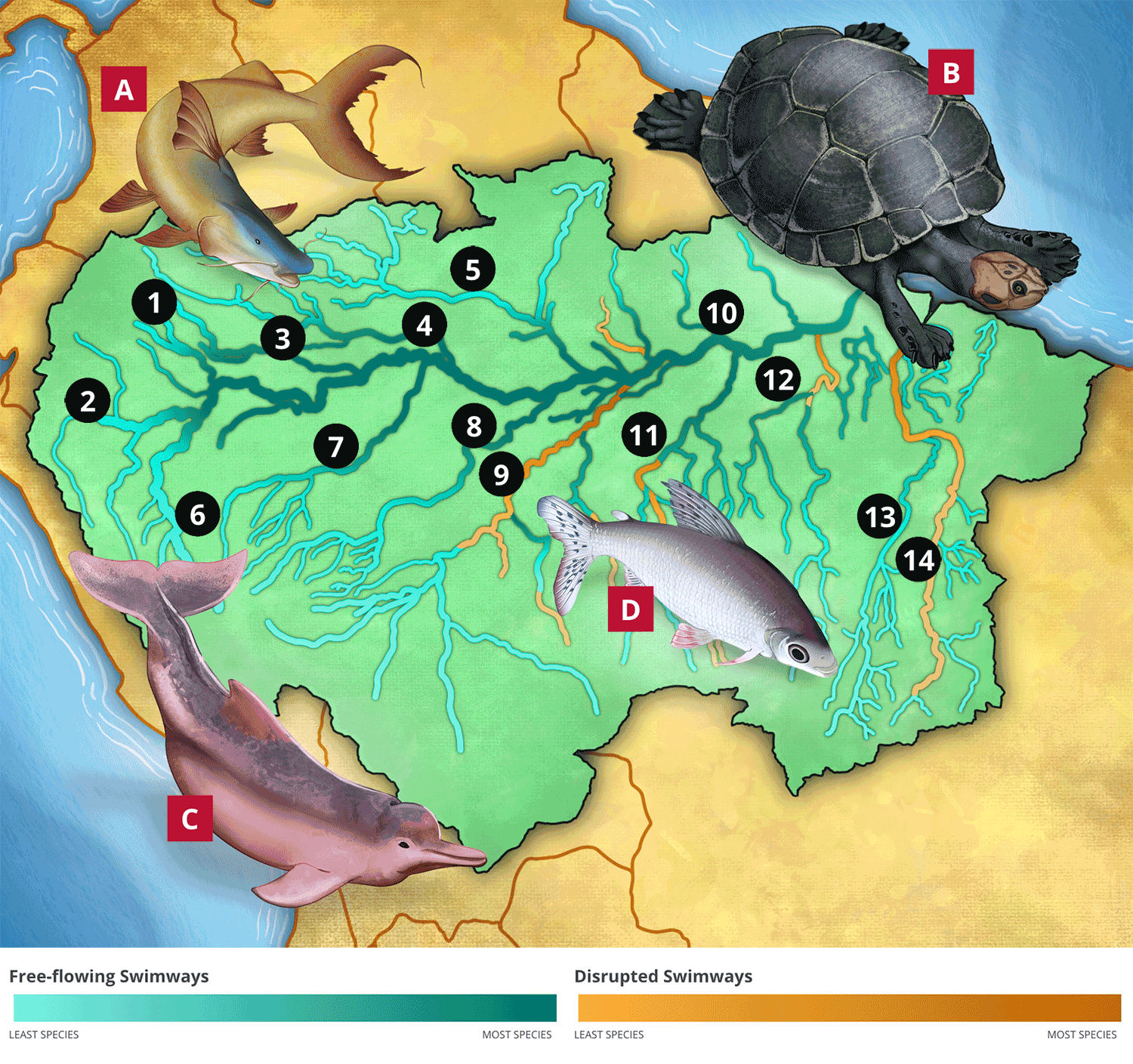
B. Podocnemis river turtles use lakes, flooded forests, backwaters, and channels to feed. In the dry period, they move toward the rivers where their nesting areas are located, which are highly dependent on seasonal or occasional floods.
C. The health of river dolphin populations in the Amazon Basin is strongly influenced by seasonal or occasional floods and habitat connectivity. River dolphins move from main river channels to flooded forests, including lagoons and confluences—the place where two rivers meet—and have adapted to move between habitats in response to seasonal water level changes, often following the movements of fish.
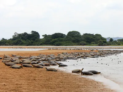
D. The black prochilodus (Prochilodus nigricans ) is a long-distance (>310 miles) migrating fish species in the Amazon and supports major fisheries.
We need to protect critical rivers
Podocnemis river turtles
© Shutterstock / Tarcisio Schnaider
Migratory fish in the Juruena River
© Zig Koch / WWF
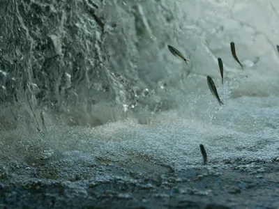
Neotropic cormorant
© Days Edge Productions / WWF-US
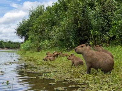
Capybaras
© Jaime Rojo / WWF-US
WWF is also concerned that the Amazon Basin may be on the verge of reaching its tipping point, when forests will change to other habitats, if deforestation continues. This would lead to devastating impacts in the region, including on freshwater systems. Although the specifics of the relationship between water systems in the Amazon and the tipping point is a research gap, it is possible that maintaining free-flowing rivers could contribute to the resilience of the wider Amazon system.
To increase the protection of critical rivers, WWF promotes basin-level scenario planning that explores alternative energy options, plans for the entire system in mind, and promotes cooperation across borders for river basin management. This work has allowed us to pinpoint stretches of river that are most critical for connectivity to be maintained for the future health of the Amazon basin, its communities, and flagship freshwater species.
Learn more about WWF's work in the Amazon and on freshwater.
[1] WWF-Brasil, WWF-US, Confluvio GeoSpatial, Fundacion Faunagua,, St. Johns River Water Management District, Wildlife Conservation Society, Universidade Federal do Pampa, Omacha Foundation, Pontificia Universidad Javeriana, Evolution et diversite biologique, CNRS, Federal University of Juiz de Fora, The Nature Conservancy, Instituto Brasileiro de Geografia e Estatistica
How you can help
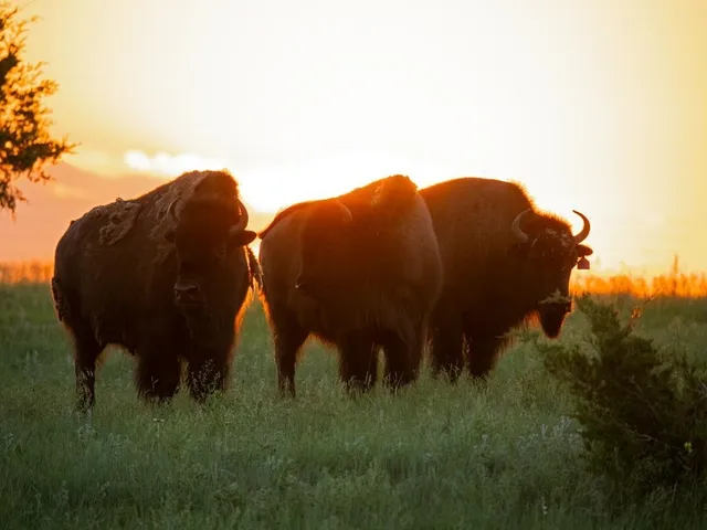
© WWF-US/Clay Bolt
Support Tribes restore buffalo to the Great Plains
The Indian Buffalo Management Act would strengthen support for Tribal Nations who are working to bring buffalo back from the brink of extinction.