Our work
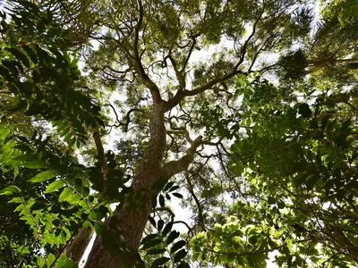
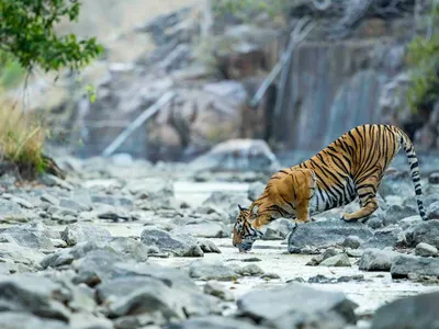
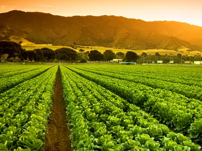
At WWF, our work starts with a devotion to conserving the most important places on Earth. That means working in critical landscapes and seascapes around the world, where conservation efforts have the greatest impact. These places are home to extraordinary biodiversity, provide vital services like clean water and fresh air, and support millions of people.

© Nature Picture Library
By addressing the “whole of a place”—its ecology, economy, governance, culture, people, and wildlife—WWF helps create crucial and scalable solutions to nature's greatest threats.

Together for nature
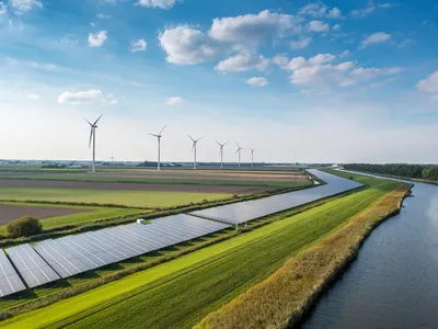
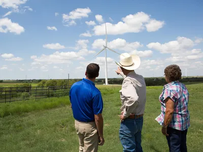
Our efforts combine science and innovation, from cutting-edge technology to rigorous research, and are powered by partnerships at every level. Everywhere we work, WWF and its partners are devoted to securing long-lasting solutions that address nature loss, create resiliency, and benefit generations to come.
This includes working with governments and communities to secure financing for conservation areas, collaborating with local leaders to ensure communities benefit from conservation, and partnering with the private sector to shift businesses and infrastructure development toward greater sustainability.
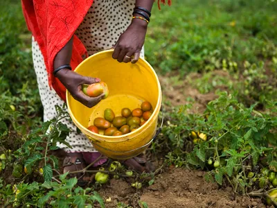
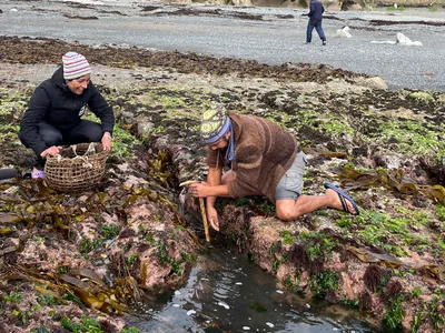
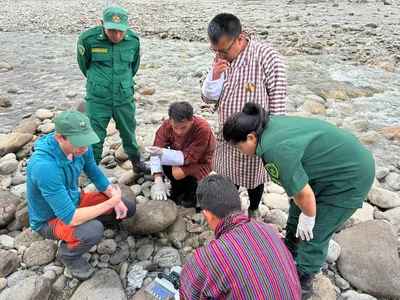
WWF knows lasting change will only succeed when the needs of people are prioritized in balance with conservation. That’s why we center people in our work—especially Indigenous peoples and local communities, whose knowledge and stewardship of their lands and waters leads to smarter, more successful outcomes.

Nature needs us now
When we act together—across disciplines, sectors, geographies, and generations—we make real progress possible for people and the planet.