Technology that helps WWF and partners monitor species and ecosystems
When the world’s tiger range countries committed in 2010 to doubling the number of wild tigers, they knew they needed to make more targeted, informed conservation decisions—and fast. So, many turned to the Spatial Monitoring and Reporting Tool, or SMART, an open-source software platform helping frontline conservationists around the globe more effectively manage, monitor, and protect wildlife and wild places.
SMART is a set of easy-to-use tools—including mobile apps, cloud-based systems, and artificial intelligence—that helps rangers, Indigenous peoples, local communities, and volunteers collect, view, analyze, and share data for informed decision-making.
-
100 countries use SMART
making it one of the world’s most widely adopted tools for better management of conservation areas

© PYTY - STOCK.ADOBE.COM

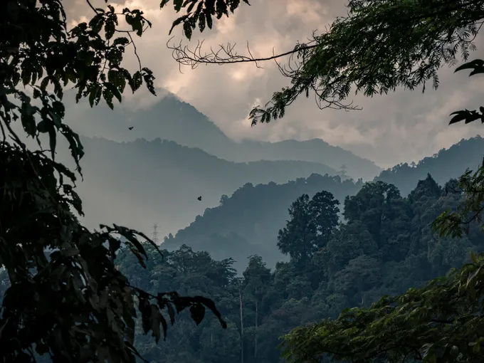
JAGUARS | Mexico
WHO Calakmul Biosphere Reserve and Voluntarily Designated Conservation Areas rangers and community monitors, supported by WWF-Mexico
PROJECT Strengthening jaguar conservation efforts within the Maya Forest’s protected areas
USE OF SMART Collected data on priority species such as jaguar, tapir, and white-lipped peccary during patrols, as well as evidence of illegal activities such as fires, hunting, and logging
RESULTS Increased community access to biodiversity and threat data, enabling more effective forest protection and management
BLACK RHINOS | Namibia
WHO Save the Rhino Trust and community rhino ranger teams in northwestern Namibia
PROJECT Protecting Africa’s largest remaining free-ranging black rhino populations in northwest Namibia through expanded patrols and monitoring
USE OF SMART Employed mobile data entry, spatial mapping, and tracking to manage large amounts of patrol data, such as GPS coordinates of rhino sightings, animal conditions, and observations of illegal activity
RESULTS More quickly and easily tracked and assessed rhino populations, increasing local rangers’ capacity to share information, better monitor the animals, and deter poachers
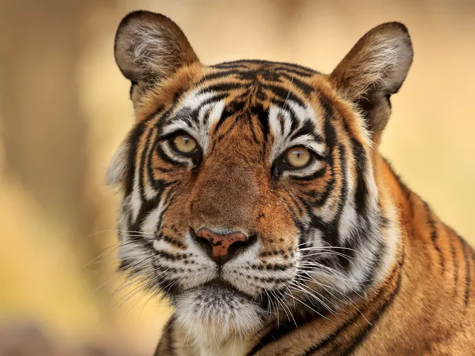
TIGERS | Bhutan
WHO The Divisional Forest Office in Sarpang, Bhutan
PROJECT Eliminating an emerging tiger poaching hotspot in Sarpang, a district that connects two of Bhutan’s protected areas
USE OF SMART Strategically designed better tiger habitat protections and broadened on-the-ground antipoaching efforts and community engagement in the region
RESULTS Created safer, more secure habitats, with Sarpang experiencing zero tiger poaching incidents since 2020 and patrol teams collecting valuable data about Bhutan’s natural resources and sites of illegal activity

1,500+
Number of terrestrial, freshwater, and ocean environments monitored globally with SMART projects.
Over 250 projects are WWF-supported

HOW IT’S USED
In the field, the SMART mobile app collects data about wildlife, tracks where patrols go, and documents illegal activities or conservation actions. The information is then uploaded to a central database, where it can support protected area management, biodiversity monitoring, mapping, law enforcement, and citizen science.
SMART was launched in 2011 with support from WWF, the Wildlife Conservation Society, the Frankfurt Zoological Society, the Zoological Society of London, Re:wild, Panthera, Wildlife Protection Solutions, and the North Carolina Zoo.
© Andy Rouse / naturepl.com / WWF
Explore more
Keep reading this issue of World Wildlife magazine