Mapping climate consequences for mangrove forests
© WWF-US/Alejandro Prieto
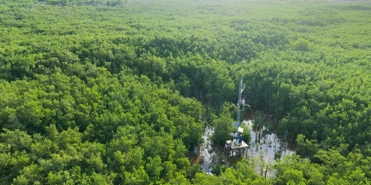
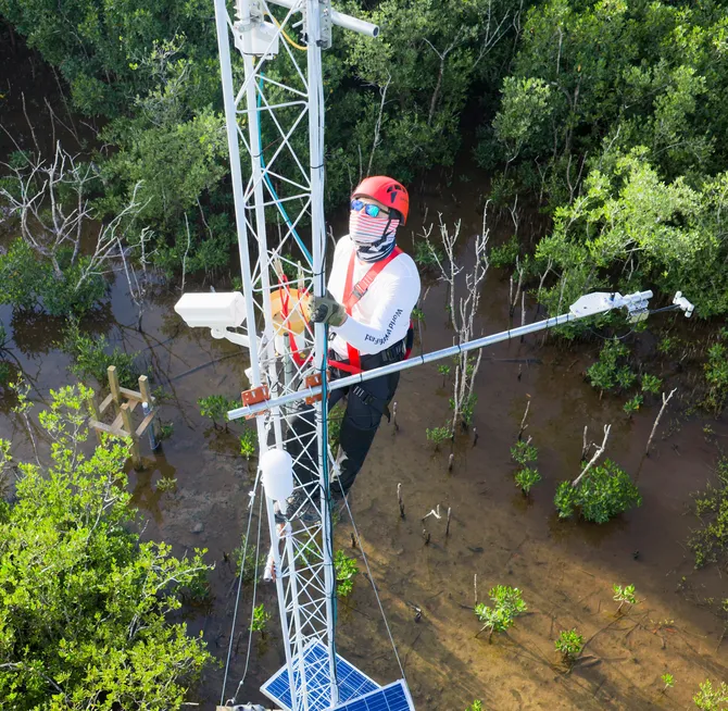
High above a mangrove forest in Mexico’s Río Lagartos Biosphere Reserve, WWF geophysical engineer Gonzalo Sansón climbs a tower to check sensors measuring carbon flux—how much carbon dioxide the forest absorbs and releases.
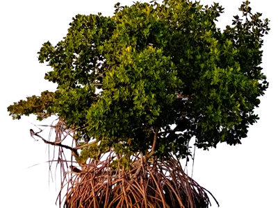
Mangrove forests can store four times as much carbon as other forests, making them essential in the fight against climate change. But we don’t know much about how climate change affects them. ManglarIA (“AI for Mangroves” in Spanish), a WWF initiative supported by Google.org, is working to fill the knowledge gaps.
“As a coastal ecosystem, mangroves are influenced by physical and chemical processes from the ocean, the atmosphere, and the land,” Sansón says.
To protect mangroves, we need data and analysis as intricate and interconnected as the ecosystems themselves. ManglarIA combines data from the new carbon flux sensors, from its wider network of weather stations and other environmental sensors, and from Mexico’s existing world-class mangrove monitoring system into massive, comprehensive datasets that artificial intelligence analyzes to better inform forest management.
© WWF-US/Alejandro Prieto
Ultimately, the aim is to replicate the ManglarIA model so that mangroves and other vulnerable ecosystems worldwide can benefit from the same kind of data-driven insights.
1.34M acres of mangrove forest grow in the Yucatán Peninsula—that’s 60% of Mexico’s mangrove forests.
As part of the ManglarIA project, WWF has deployed more than 45 sensors across the Yucatán to monitor air and water temperature, rainfall, changes in carbon dioxide, currents, salinity, biomass, and wildlife—all important indicators of, and factors in, the health of mangrove forests.
© Sara Germain/USFWS
Explore more
Keep reading this issue of World Wildlife magazine